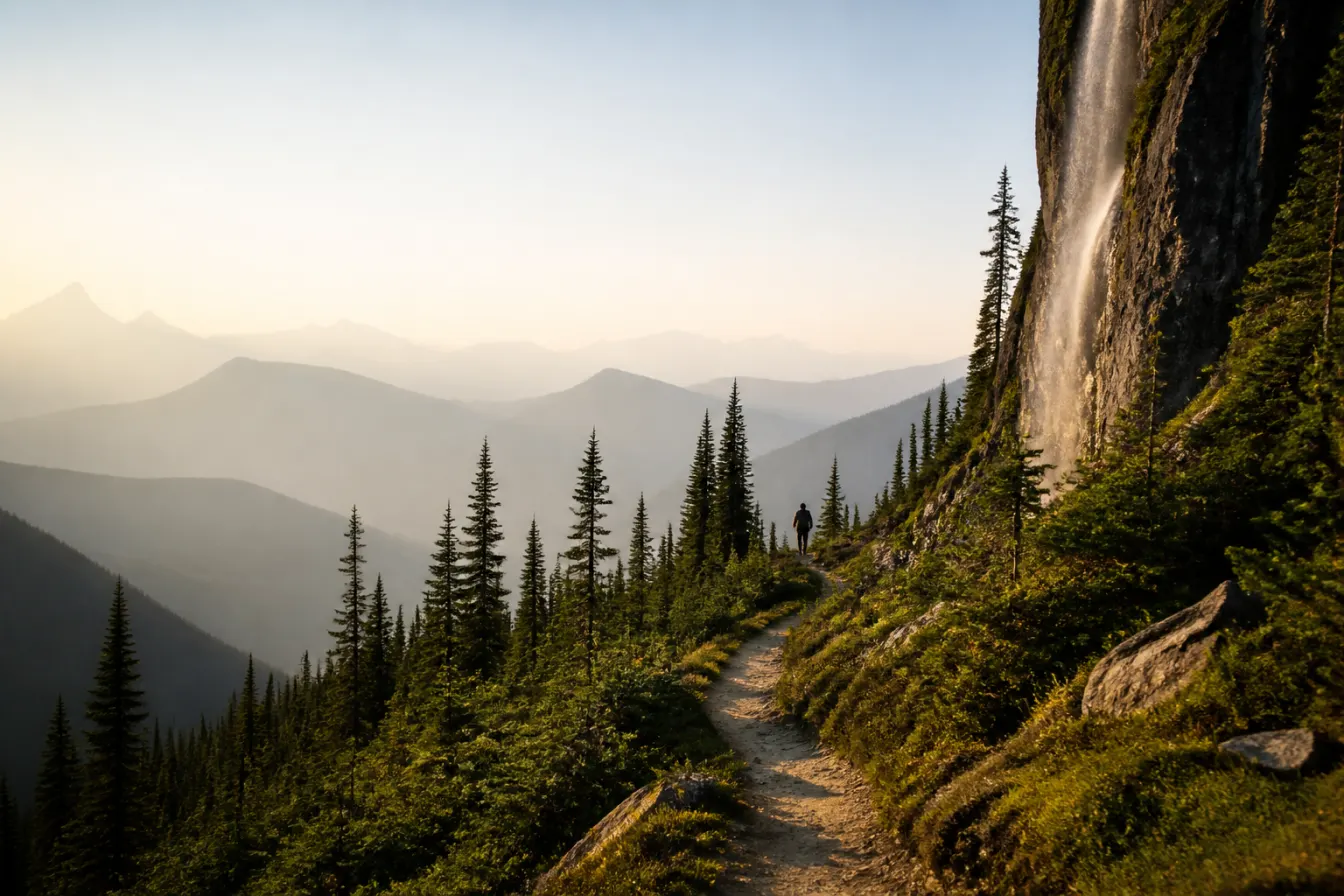
Nordegg country
Hiking Near Nordegg: Trails, Falls, and Viewpoints
Foothills and mountain trails with a fraction of the national-park crowds, from easy falls walks to serious climbs.
Hiking near Nordegg ranges from short waterfall walks to serious foothills and mountain climbs, and the best part is how few people you share it with compared to the famous parks to the south. This is the eastern edge of the Rockies, along the David Thompson Highway, and the trails run from gentle strolls to long, lung-burning days. A few names come up again and again with visitors, including Coliseum Mountain and the popular walk toward Siffleur Falls, both long associated with this country. We guide in these hills for a living, so we will point you at the well-known routes and be honest about what we will and will not claim. What we will not do is invent distances, times, or trail details, because those change and because a bad number gets people into trouble. Below are the trails people ask us about, framed in plain terms, plus the safety basics for hiking foothills country where the weather turns fast.
The lay of the land
Nordegg sits where the Alberta foothills meet the front ranges of the Rockies, and the hiking reflects that. Close to the hamlet and along the David Thompson Highway you find shorter walks to waterfalls and viewpoints, the kind of outing a family can do in a morning. Push farther toward the mountains, or up onto the higher ground, and the trails get long, steep, and genuinely demanding. There is a hike here for almost every appetite.
Because this country is quieter than the national parks, it also feels wilder, and that cuts both ways. You get solitude and space, but you also get less traffic if something goes wrong and, in places, less formal trail infrastructure. Come prepared, tell someone your plan, and check current conditions locally before you head out. Trail access, signage, and the state of the paths change with the seasons and the years, so we keep our descriptions general on purpose.
One thing worth understanding is how much the elevation and aspect shape a hike here. A trail that is dry and open on a warm south-facing slope can be holding snow and mud on the shaded north side of the same ridge, and the higher you climb the longer winter lingers into the summer. That is why two hikers can report completely different conditions on the same route a week apart. Plan for the ground to be harder and wetter than the map suggests, and let the current season, not an old photo, set your expectations.
Trails and falls people ask about
Here are the routes visitors most often ask us about, described qualitatively. We give you the character of each rather than invented numbers, because distances and times you can rely on should come from a current, local trail source, not from us.
| Trail | The honest character |
|---|---|
| Crescent Falls | A popular, shorter outing to falls on the Bighorn River off the highway. The gentlest of the well-known options and good with families. |
| Siffleur Falls | A well-known walk toward falls along the North Saskatchewan and Siffleur rivers, long associated with this stretch of the highway. Moderate and much-loved. |
| Coliseum Mountain | A serious, long climb famously tied to the Nordegg area, ending in big high country. A full, demanding day for fit and prepared hikers. |
How to read difficulty here
Because we will not hand you invented numbers, here is how to think about difficulty on your own. The waterfall walks near the highway, like Crescent Falls, are the easy end: shorter, gentler, and forgiving of ordinary fitness and footwear. The popular falls walks like Siffleur sit in the middle: longer, with more up and down, rewarding but not a casual stroll. And a true mountain objective like Coliseum Mountain is the hard end: a long day with real climbing, exposure to weather, and a need for genuine fitness and preparation.
The honest move is to match the hike to the hikers, then verify the specifics locally. A current trail source or the provincial parks information will give you real distances, elevation gains, and any closures for the exact route and season you are planning. If a hike is going to test you, know that before you are three hours up it, not after.
Foothills hiking safety
This is mountain and foothills country, and the weather here does not care about your plans. A warm morning can turn to cold rain, wind, or even snow within hours, and snow lingers into early summer and returns early in fall on the higher ground. Carry layers, food, and water beyond what you think you need, start early, and turn around with daylight and energy to spare rather than pushing a summit late.
This is also wild country with wildlife in it, including bears. Make noise, travel in a group where you can, carry and know how to use bear spray, and keep a clean, aware camp or lunch stop. Tell someone your route and expected return, and remember that cell coverage is patchy to nonexistent out here. None of this is meant to scare you off. It is the ordinary discipline that keeps a great day in the hills a great day.
The same country we hunt
The trails around Nordegg run through the same foothills and mountains we hunt, and walking them is the best way to understand why we are based here. West and north of the hamlet the country climbs into the Blackstone and Wapiabi backcountry, a zone closed to motorized vehicles where we ride and hunt on horseback the traditional way. Much of what makes a hike here special, the quiet, the space, the wildness, is exactly what makes the hunting here what it is.
If you are planning a hunt with us, time on your feet in this kind of country is the best preparation there is. Read David Thompson Country for what the backcountry is like, and when you are ready to talk dates, plan your hunt with us and we will tell you honestly what the country demands.
Common questions
Q. What are the best hikes near Nordegg?
Well-known options long associated with the area include the shorter walk to Crescent Falls on the Bighorn River, the popular walk toward Siffleur Falls off the David Thompson Highway, and the serious climb up Coliseum Mountain for fit and prepared hikers. Check current distances and conditions from a local trail source.
Q. Is Coliseum Mountain a hard hike?
Coliseum Mountain is a serious, long climb ending in big high country, and it is best treated as a full, demanding day for fit and well-prepared hikers. Get the current route details, distance, and conditions from a local or provincial trail source before you attempt it.
Q. Where is Siffleur Falls?
Siffleur Falls is reached by a well-known walk along the North Saskatchewan and Siffleur rivers off the David Thompson Highway, west of Nordegg. It is a much-loved moderate outing. Confirm current trailhead access and conditions locally before you go.
Q. Are there easy walks near Nordegg?
Yes. The shorter waterfall walks along the David Thompson Highway, such as the outing to Crescent Falls, are the gentlest of the well-known options and suit families and ordinary fitness. Longer trails toward the mountains get considerably more demanding.
Q. Do I need to worry about bears hiking near Nordegg?
This is wild country with wildlife including bears. Make noise, travel in a group where you can, carry and know how to use bear spray, keep food managed, and tell someone your route. Cell coverage is patchy to nonexistent, so prepare to be self-reliant.
Q. When is the best time to hike near Nordegg?
Summer is the most reliable hiking season, with the trails clear and the days long. Snow lingers into early summer and returns early in fall on higher ground, so check current trail conditions for shoulder-season outings and always carry layers for fast-changing mountain weather.
Keep reading
Plan your hunt
Ask us about a horseback hunt in the country you would hike
Tell us what you are after. We reply within 1 to 2 business days with honest numbers, real dates and the outfitters we would send our own family to. It costs you nothing.